Difference between revisions of "File:Dos vientos satellite.jpg"
From universalworldchurch.org
Jump to navigationJump to search| Line 1: | Line 1: | ||
Satellite image of Dos Vientos between Thousand Oaks and Camarillo in Newbury Park, California. This was the proposed site of O. L. Jaggers' [[World Church City]]. | Satellite image of Dos Vientos between Thousand Oaks and Camarillo in Newbury Park, California. This was the proposed site of O. L. Jaggers' [[World Church City]]. | ||
| + | [[Category: Pictures of the World Church City]] | ||
[[Category: Building Pictures]] | [[Category: Building Pictures]] | ||
[[Category: Satellite Images]] | [[Category: Satellite Images]] | ||
Latest revision as of 17:46, 22 March 2011
Satellite image of Dos Vientos between Thousand Oaks and Camarillo in Newbury Park, California. This was the proposed site of O. L. Jaggers' World Church City.
File history
Click on a date/time to view the file as it appeared at that time.
| Date/Time | Thumbnail | Dimensions | User | Comment | |
|---|---|---|---|---|---|
| current | 18:38, 18 March 2011 | 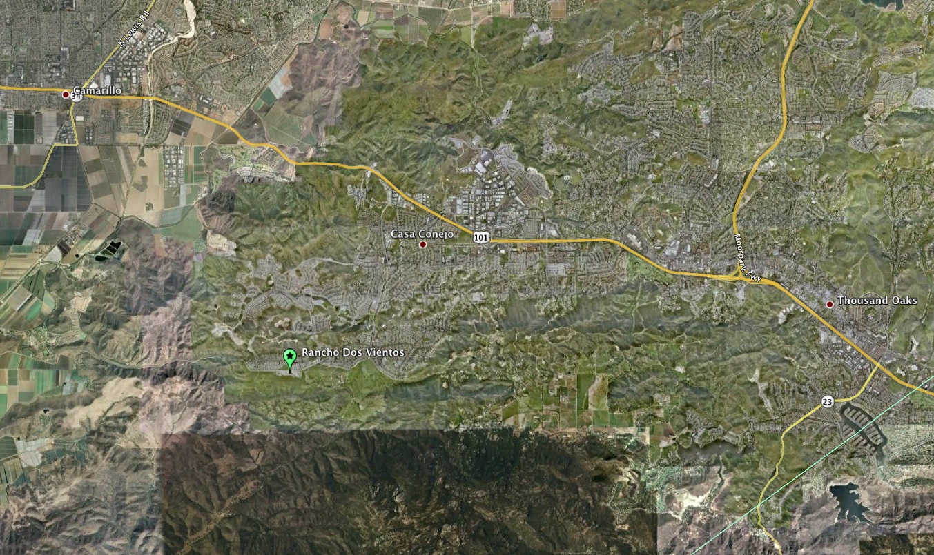 | 1,353 × 805 (568 KB) | Admin (talk | contribs) | Satellite image of Dos Vientos between Thousand Oaks and Camarillo in Newbury Park, California. This was the proposed site of O. L. Jaggers' World Church City. |
You cannot overwrite this file.
File usage
There are no pages that use this file.